from€445£385
Morocco
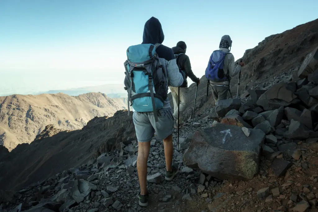
Toubkal: Roof of North Africa
Berber villages, high passes and a 4,167 m summit — our best-value week.
- 6 days
- Max 12
- Difficulty 4/5
- Village gîtes + mountain refuge
Overview
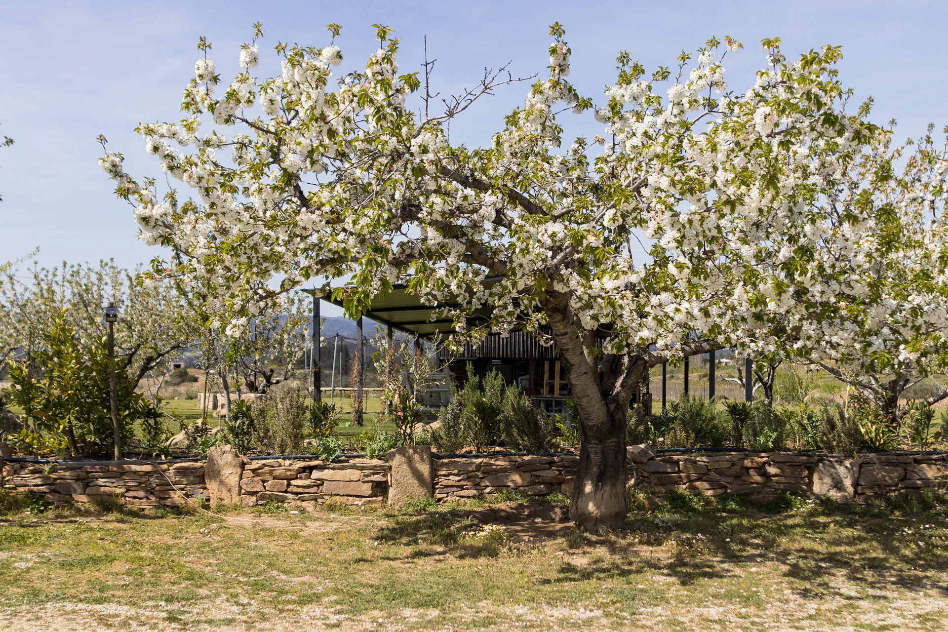
Twenty kilometres inland from the Algarve's resorts, the land crumples into the Barrocal: a belt of pale Jurassic limestone, red earth, carob, almond and wild thyme. The Serra da Picavessa is its backbone — a ridge of dolomite so riddled with sinkholes and hidden basins that the rain vanishes into it and comes back out as springs in the villages below. It's the heart of the Algarvensis Geopark, and almost nobody walks it.
We do it on foot from village to village: the cold springs of Fonte Benémola, the Picavessa karst and the flat-floored basin of Nave do Barão, the cliff-edged plateau of Rocha da Pena (479 m), and the water village of Alte under Rocha dos Soidos (482 m). Two nights in Salir, two in Alte, part of the way on the Via Algarviana long-distance trail.
It's our cheapest week for good reasons, not bad ones. Faro is cheap to fly to outside summer, a village dinner with wine costs what a sandwich does in Lofoten, and family guesthouses are glad of walkers in February. We don't run it in summer: it's too hot, and the point is to come when everyone else doesn't.
Day by day
Meet at Faro bus station in the afternoon and take the public bus inland to the market town of Loulé. Evening walk through the old quarter, briefing and dinner.
Short transfer to Querença, a whitewashed hilltop village. Walk the loop around the Fonte Benémola springs, where the limestone gives its water back, then north on tracks through carob and cork oak to Salir and the remains of its Moorish castle.
A full day on the ridge the trip is named for. From Salir we climb onto the Picavessa limestone — clints and grikes, sinkholes, breccia outcrops — and drop into Nave do Barão, a flat, fertile basin with no river out of it, before looping back to Salir by old farm paths. Guide-led: little of this is waymarked.
Along the Via Algarviana to the foot of Rocha da Pena, up the waymarked path onto its plateau for the cliff-edge views and Iron Age walls, then down through Penina and Benafim to Alte. Bags go ahead by taxi.
The waymarked hill circuit above Alte: dry valleys, abandoned terraces and the 482 m summit of Rocha dos Soidos, looking back over everything we've walked. Finish with a swim, or at least your feet, in Fonte Grande. Final dinner in the village.
Morning transfer to the railway at São Bartolomeu de Messines and the train to Faro, arriving around midday.
The deal
The honest box
Nothing hidden
Indicative split for this trip. "Us" covers planning, insurance, this website and keeping the lights on.
When
Pack
Good to know
In the central Algarve, about 20 km north of Albufeira and Vilamoura, in the municipality of Loulé. It's a limestone ridge running between the villages of Salir, Nave do Barão and Tôr, inside the Algarvensis Geopark. It's small, low and very little visited.
From June to September the inland Algarve regularly passes 35 °C, the landscape is parched and the wildfire risk is real. From October to May it's green, quiet, mild and much cheaper to fly to.
Days are 14 to 19 km with 400 to 660 m of ascent on uneven ground, carrying a daypack. It's long, steady walking rather than steep climbing. If a six-hour hill day at home is comfortable, you'll be fine.
Keep looking
from€445£385
Morocco
Berber villages, high passes and a 4,167 m summit — our best-value week.
from€1,095£945
Iceland
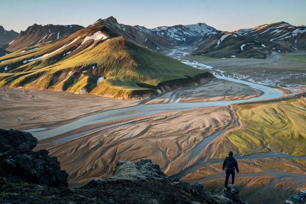
55 km of rhyolite, black sand and glaciers — camped, not hotelled.
from€1,045£899
Norway
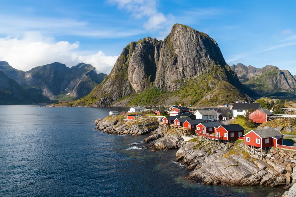
Arctic peaks, white beaches and fishermen's cabins — Norway without the Norwegian bill.
Ask about fitness, kit, the huts, the dogs, the weather. We’d rather you asked than guessed.